Hour-by-hour weather forecast for Surrey as Beast from the East and Storm Emma hit
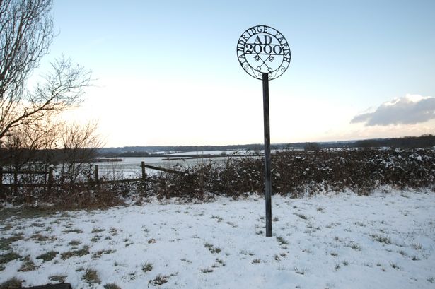
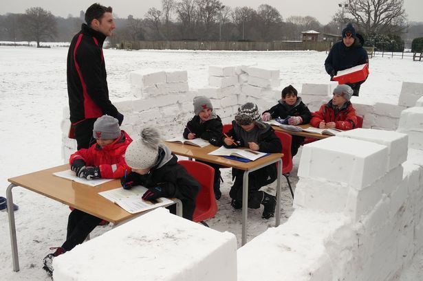
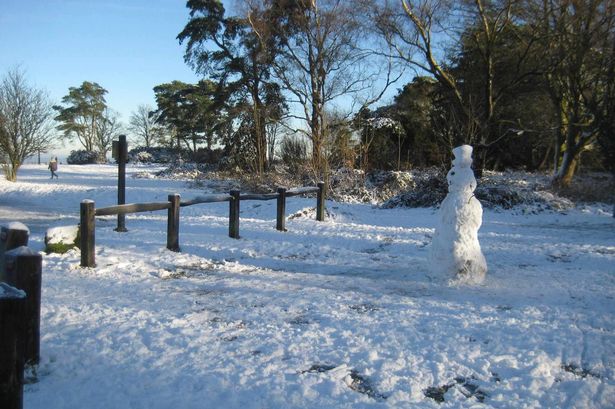
Snow and icy blizzards have swept across the county this week, causing travel delays and disruption.
Temperatures have been dropping to as low as -4° since Monday (February 26) when the so-called ‘Beast from the East’ front, which refers to the weather coming from arctic Russia, arrived in the UK.
Snow is expected to fall in the south east until Saturday, which means several warnings are now in place for snow and ice.
With the snow threatening to disrupt travel services, here is an hour-by-hour forecast for the weather across Surrey, running up to Friday (March 2) at 5am.
East Surrey
Covering Reigate, Redhill, Horley, Caterham and Oxted areas
Mid Surrey
Covering Dorking, Leatherhead and Epsom areas
-
10am Thick cloud (-1°)
-
11am Thick cloud (-1°)
-
12pm Thick cloud (-1°)
-
1pm Light snow (-1°)
-
2pm Light snow (-1°)
-
3pm Light snow (-1°)
-
4pm Light snow (-1°)
-
5pm Light snow (-1°)
-
6pm Light snow (-1°)
-
7pm Sleet (0°)
-
8pm Sleet (0°)
-
9pm Sleet showers (0°)
-
10pm Sleet showers (0°)
-
11pm Light cloud (0°)
-
12am Saturday Mist (0°)
-
1am Mist (0°)
-
2am Mist (-1°)
-
3am Mist (-1°)
-
4am Mist (-1°)
-
5am Mist (-1°)
North Surrey
Covering Staines, Chertsey, Egham, Walton, Esher, Weybridge and Addlestone area
West Surrey
Covering Guildford, Woking, Camberley and Farnham areas
-
10am Heavy snow showers (-1°)
-
11am Heavy snow showers (-1°)
-
12pm Thick cloud (-1°)
-
1pm Light snow (-1°)
-
2pm Light snow (-1°)
-
3pm Light snow (-1°)
-
4pm Light snow (-1°)
-
5pm Light snow (-1°)
-
6pm Light snow (-1°)
-
7pm Light snow (-1°)
-
8pm Sleet (0°)
-
9pm Sleet showers (0°)
-
10pm Sleet showers (0°)
-
11pm Thick cloud (0°)
-
12am Saturday Light cloud (0°)
-
1am Light cloud (-1°)
-
2am Mist (-1°)
-
3am Mist (-1°)
-
4am Mist (-1°)
-
5am Light cloud (-1°)

Video Unavailable